Kumar Bahukhandi
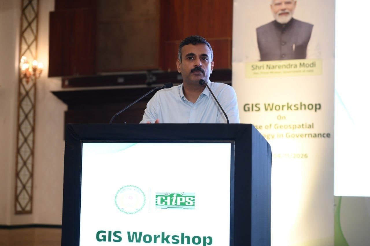
Ankit Anand, IAS, Secretary in charge of Chhattisgarh’s Electronics and Information Technology Department, addresses the CHiPS workshop on geospatial technology in governance in Nava Raipur on Wednesday, 4 November 2026. Photo: channel24india.com via CG/DPR
CHiPS showcased an AI chatbot that takes users directly to locations on the map. State agencies are already using geospatial tools to assess industrial land and identify gaps in banking access.
Key Highlights
- Chhattisgarh Infotech Promotion Society has integrated more than 190 geographic information system (GIS) data layers and developed over 35 tools and applications for government departments.
- All districts have received login credentials for the state geoportal and its Decision Support System.
- More than 200 officials and specialists attended the workshop on geospatial technology in governance in Nava Raipur.
Nava Raipur: Chhattisgarh is using a state geoportal to help district officials identify local needs, assess available resources and decide which development projects to prioritise. At a workshop on Wednesday, 4 November 2026, the Chhattisgarh Infotech Promotion Society (CHiPS) demonstrated how departments can use the portal’s mapping tools and an AI chatbot to find and analyse geographic information.
Electronics and Information Technology Secretary Ankit Anand inaugurated the one-day workshop, which brought together more than 200 officials and subject specialists. He said CHiPS had integrated more than 190 GIS data layers and developed over 35 tools and applications tailored to departmental needs.
The workshop introduced district and departmental officials to the geoportal and its Decision Support System. With login credentials already issued to every district, officials can use the mapped data to assess where resources are available, identify gaps in services and set priorities based on local conditions.
AI chatbot takes officials directly to locations on the map
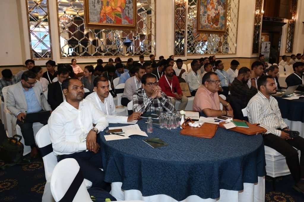
Government officials and technical specialists attend the CHiPS workshop on geospatial technology in governance in Nava Raipur on Wednesday, 4 November 2026. Photo: channel24india.com via CG/DPR
Officials can type the name of a locality, site or asset into the chatbot. When it finds a match, the map moves to the corresponding location and displays the geographic information available for it. This saves users from searching through drop-down menus or long lists when they already know the name of the place or asset they need to find.
GIS tools help assess industrial land and banking access
CHiPS Chief Executive Officer Mayank Agrawal outlined two ways state agencies are already using the tools. The Chhattisgarh State Industrial Development Corporation is using Land Patch Analysis to identify and assess potential industrial plots. The tool allows officials to examine available land digitally and compare possible sites during the planning process.
The Directorate of Institutional Finance is using Bank Coverage Analysis to identify areas with limited access to banking services. Mapping those gaps can help officials assess where new branches could serve communities that currently lack convenient access.
Experts discuss applications for government departments
Specialists from Esri India and Octave India presented recent GIS applications and discussed how departments could adapt geospatial tools to their own needs. Officials and technical experts also discussed using district-level data to plan projects and assess available resources before deciding where to direct investment or expand public services.